Find · New mapJustKongNewcomer · 36★ Founding member
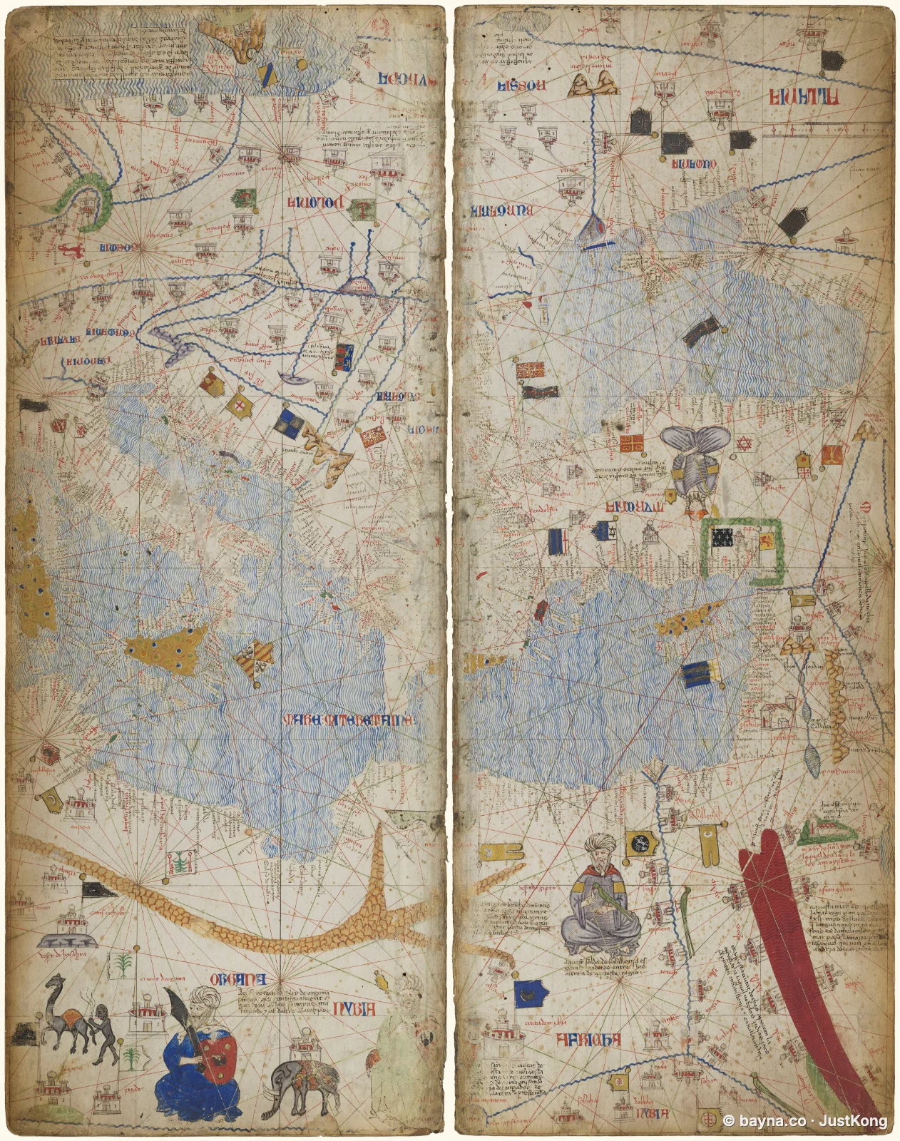
Portolan Chart of the Western Mediterranean
 Zoom in on the map
Portolan Chart of the Western Mediterranean, by Abraham Cresques, 1375. Held by Bibliothèque nationale de France (Catalan Atlas). Shows Northwestern Africa, part of the Mediterranean Sea, and part of the Atlantic Ocean. Source: https://commons.wikimedia.org/wiki/File:Atlas_Catalan_BnF_btv1b52509636n_Sheet_4.jpg