Descubrimiento · Mapa nuevoJustKongRecién llegado · 36★ Miembro fundador
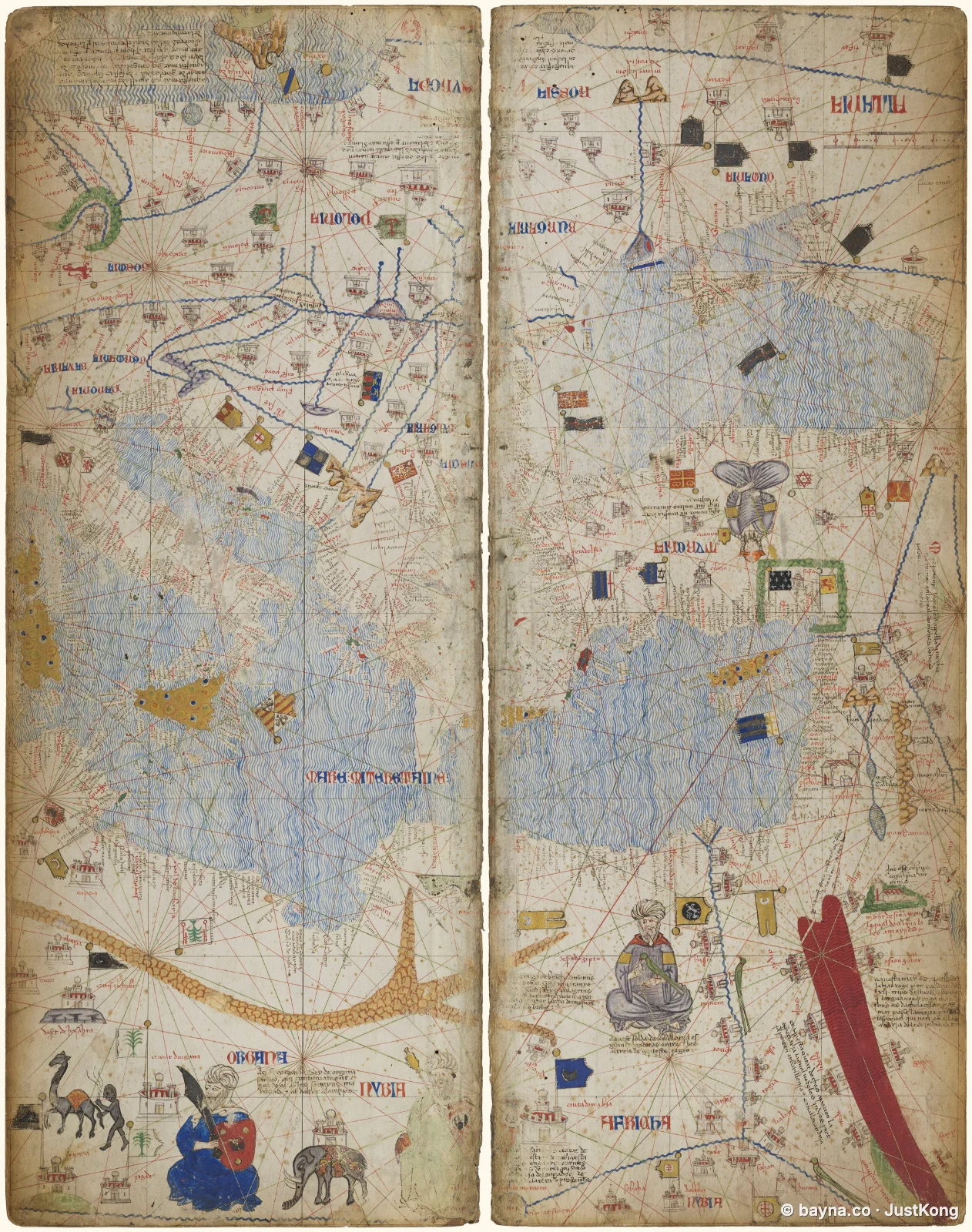
Carta portulana del Mediterráneo occidental
 Ampliar el mapa
Carta portulana del Mediterráneo occidental, por Abraham Cresques, 1375. Conservada por la Bibliothèque nationale de France (Atlas Catalán). Muestra el noroeste de África, parte del Mar Mediterráneo y parte del Océano Atlántico. Fuente: https://commons.wikimedia.org/wiki/File:Atlas_Catalan_BnF_btv1b52509636n_Sheet_4.jpg
Portolan Chart of the Western Mediterranean
Portolan Chart of the Western Mediterranean, by Abraham Cresques, 1375. Held by Bibliothèque nationale de France (Catalan Atlas). Shows Northwestern Africa, part of the Mediterranean Sea, and part of the Atlantic Ocean. Source: https://commons.wikimedia.org/wiki/File:Atlas_Catalan_BnF_btv1b52509636n_Sheet_4.jpg